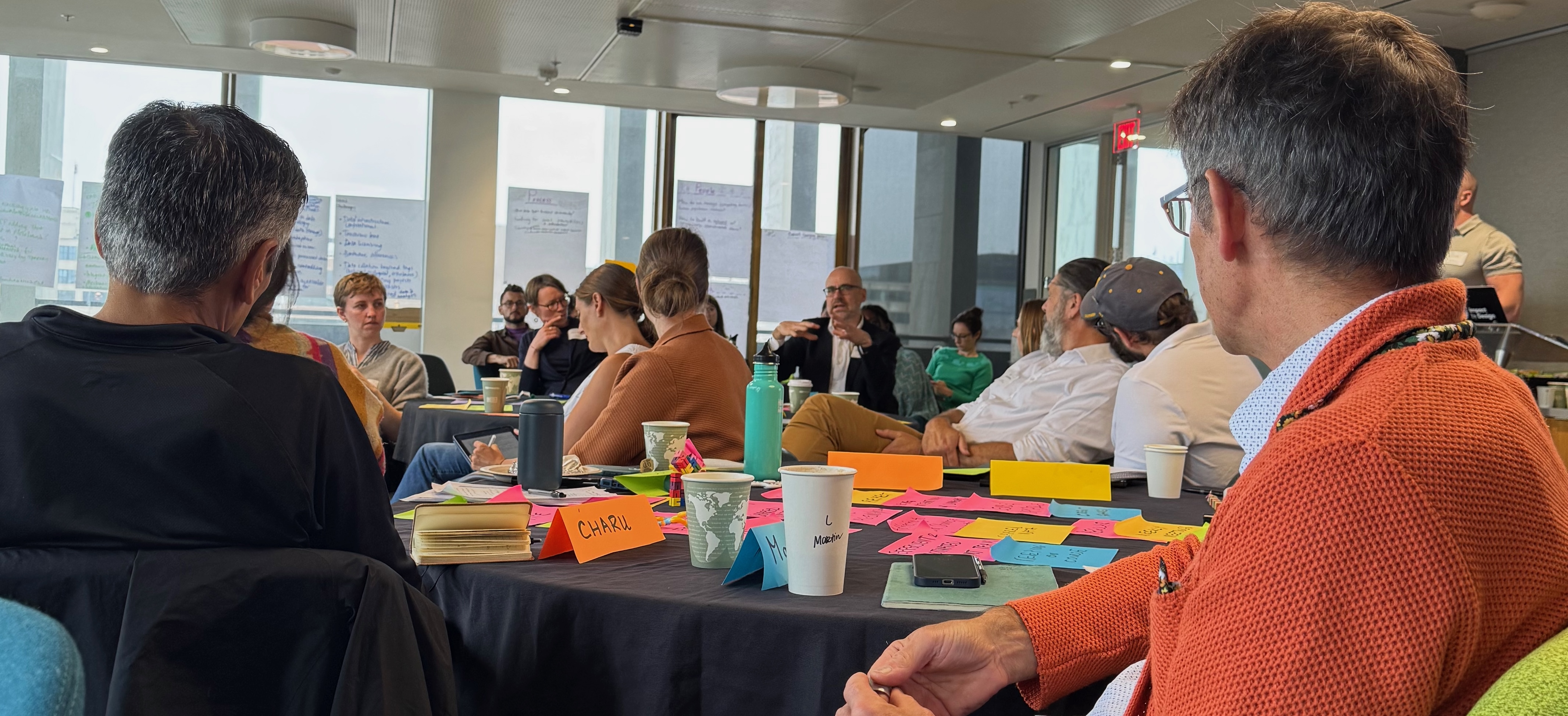
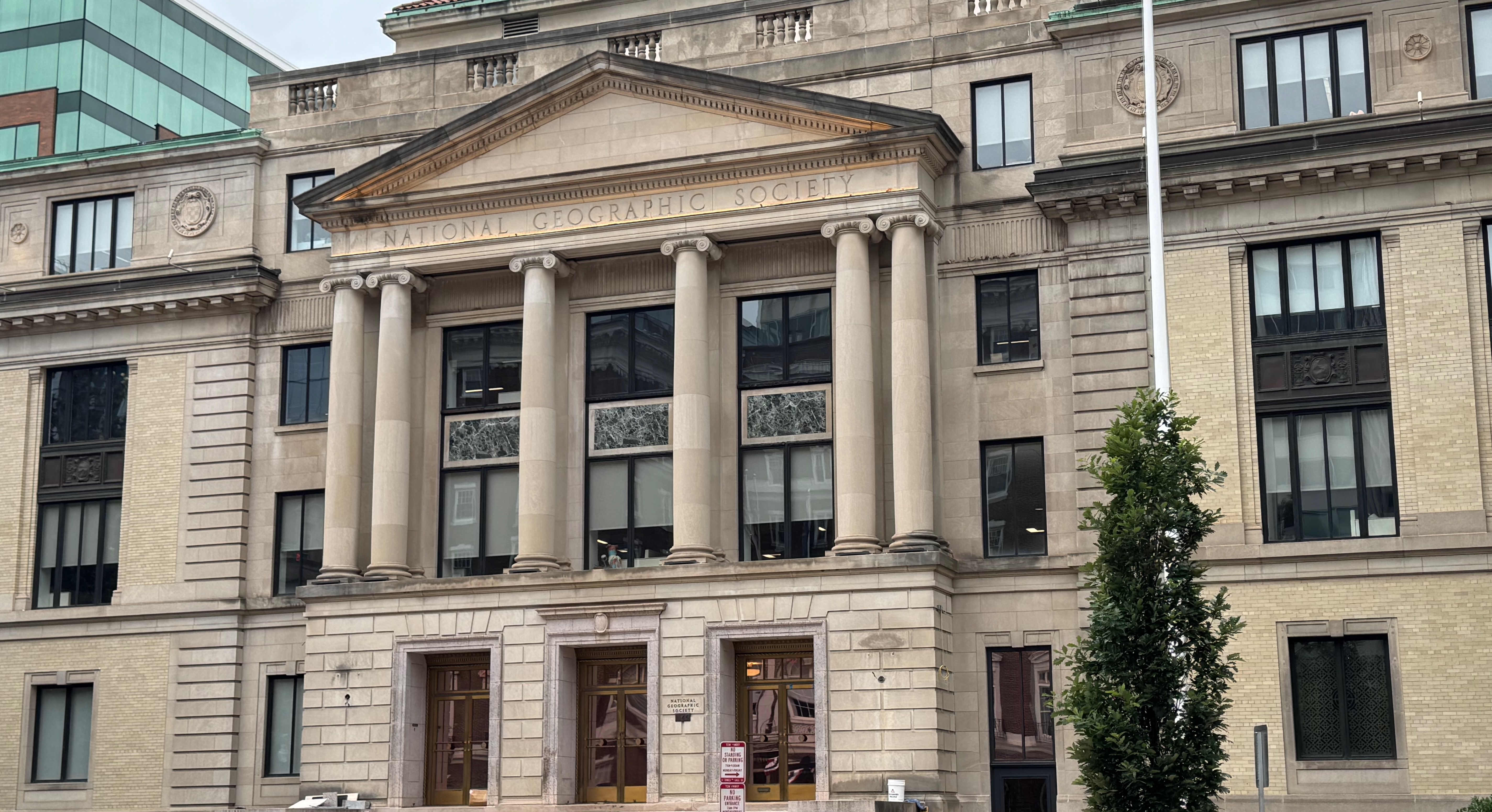
I stayed on for a few days extra in Washington DC after the biodiversity extravaganza to attend a workshop at legendary National Geographic Basecamp. While I've been to several NatGeo Explorers meetups in California, I've never had the chance to visit their HQ. The purpose of this was to attend a workshop organised by Christian Rutz from St Andrews about the "Urban Exploration Project":
[The UEP is a...] global-scale, community-driven initiative will collaboratively track animals across gradients of urbanization worldwide, to produce a holistic understanding of animal behaviour in human-modified landscapes that can, in turn, be used to develop evidence-based approaches to achieving sustainable human-wildlife coexistence. -- Christian Rutz's homepage
This immediately grabbed my interest, since it's a very different angle of biodiversity measurements to my usual. I've so far been mainly involved in efforts that use remote sensing or expert range maps, but the UEP program is more concerned with the dynamic movements of species. Wildlife movements are extremely relevant to conservation efforts since there is a large tension between human/wildlife coexistence in areas where both communities are under spatial pressure. Tom Ratsakatika for example did his AI4ER project on the tensions in the Romanian Carpathian mountains, and elephant/human conflicts and tiger/human conflicts are also well known.
The core challenge posed at the workshop was how to build momentum for the UEP's vision of fostering human–wildlife coexistence in the world's unprotected areas (often, this is areas near urban expansion zones like cities). The UEP idea sprang from Christian's earlier efforts after the pandemic on the COVID-19 Bio-Logging that built up a database of over 1 billion satellite fixes for ~13,000 tagged animals across ~200 species. The lead student on that work, Diego Ellis Soto has since graduated and was also at the UEP workshop sitting beside me!

The workshop itself wasn't fully public (not because it's secret, but just because the details are still being iterated on), so here are some high-level takeaways from my conversations there...
1 Movebank for GPS tracking
I've used iNaturalist and OpenStreetMap extensively for wildlife occurrence and urban data, but I'm less familiar with how animal movement data is recorded. Martin Wikelski was at the workshop and explained the ICARUS project to me, which collected data fitted to animals via GPS transmitters. This is then fed into the MoveBank service that is custom-designed for movement data.
Unlike most other biodiversity data services though, MoveBank data is not immediately made public (due to the sensitivity of animal movements), but is licensed to the user that made it. For that reason, it's less of a "social" service than iNaturalist, but still has a staggering 11 million records added every day. This data is then fed into GBIF, although it is downsampled to a single record per day. Martin also indicated to me that they're considering federating Movebank to other countries, which is important as biodiversity data resilience was a hot topic in our meeting a few days before.

2 Storytelling about conservation actions
I was really struck by how deeply the National Geographic staff were thinking about and co-designing solutions for along with the academics involved. I got chatting to Ian Miller, the chief scientist at NatGeo about his scientific background (he's worked on all seven continents!) and how our conservation evidence database might be of use to help the Society figure out the long-term impacts of their projects. I also met the person with the coolest job title there: Alex Tait, who is The Geographer at the NGS. Alex, along with Lindsay Anderson and other NGS staff who participated, all had infectious enthusiasm about exploration combined with an encyclopedic knowledge of specific projects that they support involving explorers across the world.
These projects ranged from the Amazon River Dolphins (to understand aquatic health) over to cephalopod empathy) and many more. These gave me a new perspective on the importance of storytelling as a key mechanism to help connect the dots from conservation actions to people; something that I've been learning from Bill Sutherland's video series as well!

It's also worth noting that the NGS support goes beyond "just" filmmaking. Our own Charles Emogor is also an Explorer, and recently received support from their Exploration Technology Lab to get a bunch of biologgers to support his research on mapping hunting pressures. Rather than placing a few big bets, the Society seems to focus on investing widely in a diverse range of people and geographies.
3 The importance of hedgehogs
A lot of the discussion at the workshop naturally focussed on charismatic mammals such as the amazing work done by the Zambian Carnivore programme. However, I also had in mind the importance of addressing issues closer to home in the UK as well so that we didn't ignore Europe.
Luckily, before the workshop, I had grabbed a coffee with Silviu Petrovan from the CCI, who has been bringing me up to speed on the National Hedgehog Monitoring programme (did you know that British hedgehogs are now vulnerable to extinction?). This particular effort seems to tick a lot of boxes; it's a local and beloved species in the UK, it requires evidence-based interventions to avoid making the problems worse, and also requires combining data sources (from camera traps to species distribution models to urban planning to the GPS Movebank data) to build up a really accurate high res picture of what's going on.
I brought up UK hedgehog conservation at the NatGeo workshop, and then while down at Earthfest at Google a few days later I learnt from Drew Purves that they've developed an extremely high-res map of woodland and hedgerows in the UK. I've therefore created a new student project on hedgehog mapping and hope to recruit a summer internship for this. It would be extremely cool to put the pieces together with a very concrete project such as this as a first small step for the UEP.

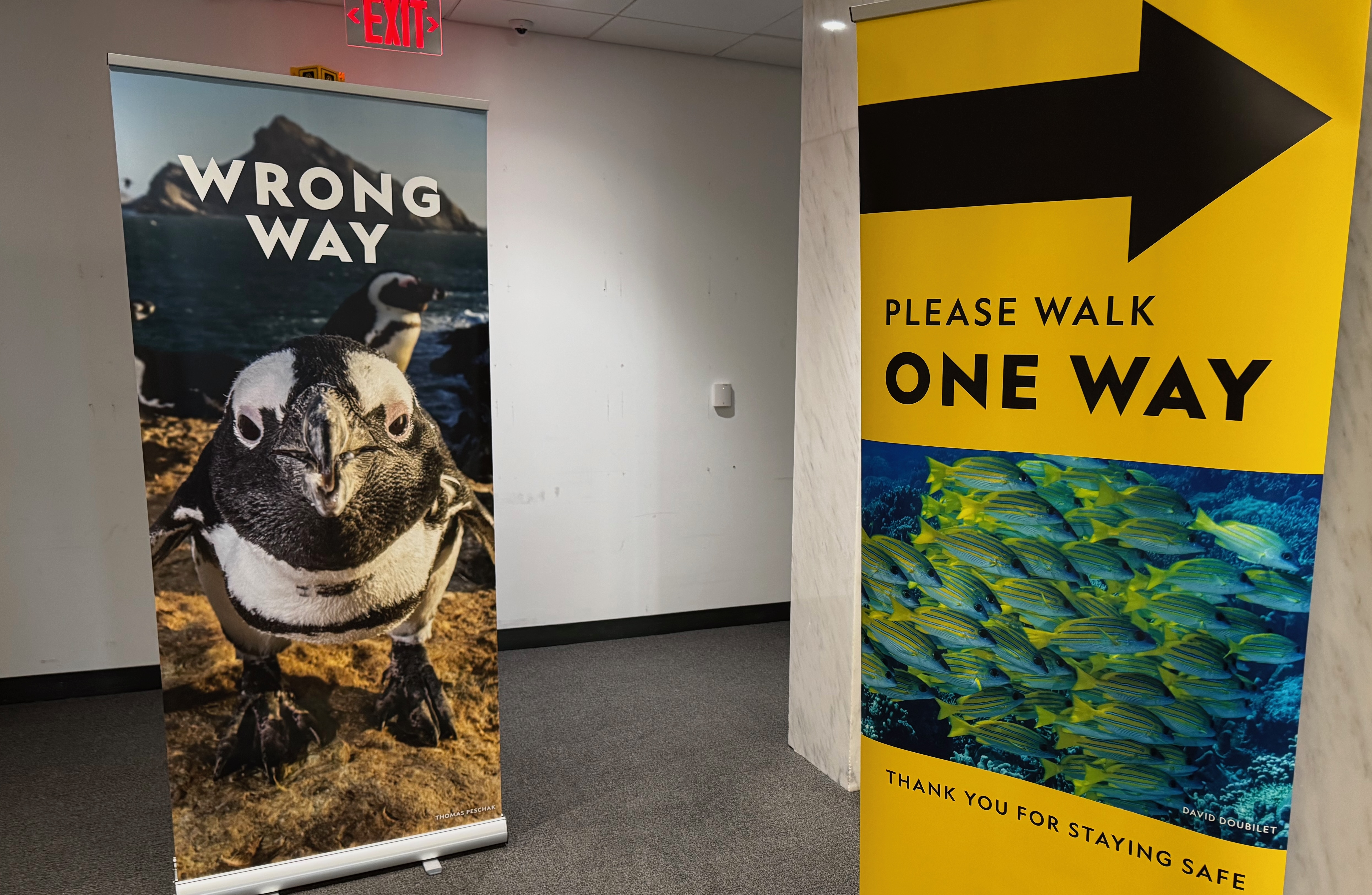
I found the whole experience of visiting National Geographic inspirational, and not just because of the projects discussed. The walls of their HQ are full of incredible photographs of explorers all over the world, and a seemingly unbounded enthusiasm for exploring the unknown. I kind of thought I'd aged out on applying to become an explorer, but Kathy Ho has been encouraging me to apply, and the same was echoed by the lovely conversations with NatGeo staffers.
I'm therefore putting on my thinking hat on for what my Explorers project proposal should be, as I am on academic sabbatical next year and have more freedom to travel; suggestions are welcome if you see me at the pub!

